|
20th March 2017
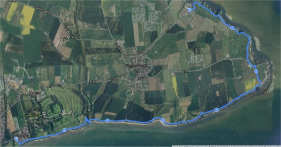
- North Landing to Sewerby - 7 miles, moderate walk
This is not a circular
walk, so you either need two cars, someone to drop you off or get
the bus to the starting point at North Landing which takes around 25
minutes from Bridlington bus station.
This is a fairly easy walk as it is all along the coast path,
however if you want to splash in the sea and search the rock pools
then this will add a few ups and downs to the walk as you get back
to sea level and up again. The beaches, caves and coves on this walk
are ideal for crab hunting, or simply splashing in the sea to cool
down.
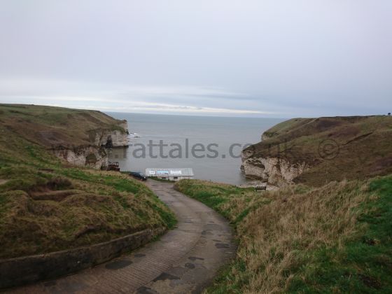
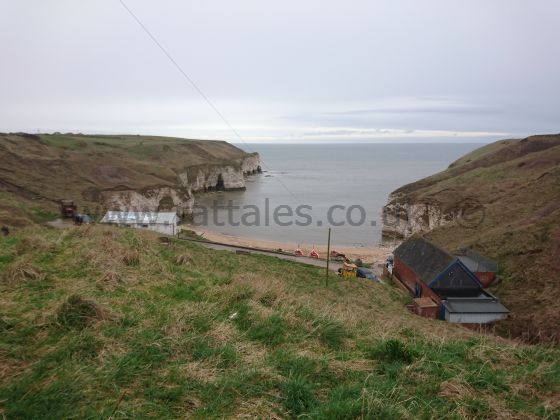
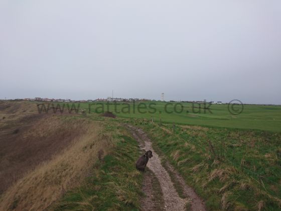
North Landing was the starting point for this walk and you can have
a nice cup of tea at the cafe before you set off to get yourself
ready. It is a simple route with just one path, so you cannot go
wrong, or get lost, however with all the bad weather recently the
cliff is eroding quite quickly and this makes the path a little
treacherous at points, but I am sure this will be resolved and the
path re-routed by summer.
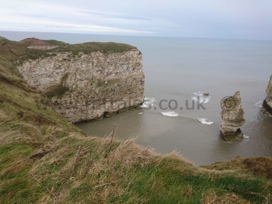
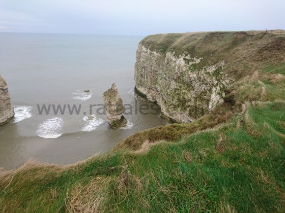
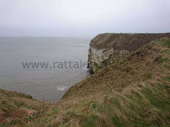
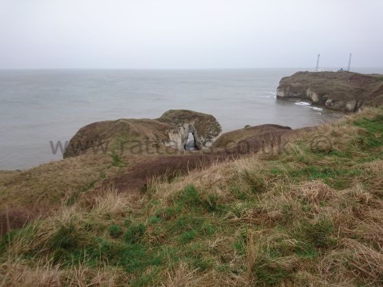
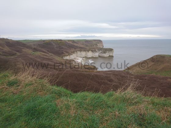
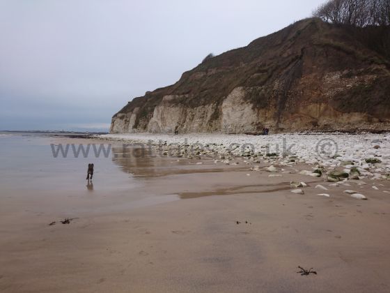
This line of cliffs is northern Britain's only chalk sea cliff,
which is a 10 mile long stretch that takes the full force of the
brutal North Sea. This whole area is a haven for wildlife with
Bempton Nature Reserve nearby and these cliffs are rife with puffins
and gannets, amongst many more breeds of birds and if you watch the
sea for long enough you will hopefully strike lucky and see seals
and even whales.
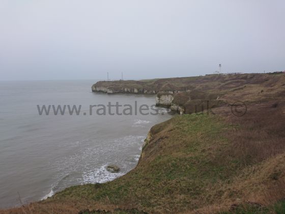
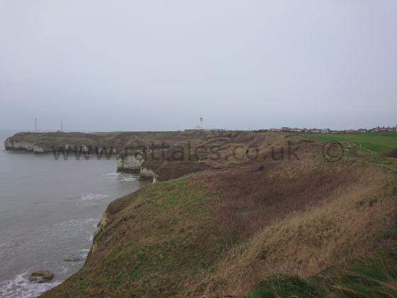
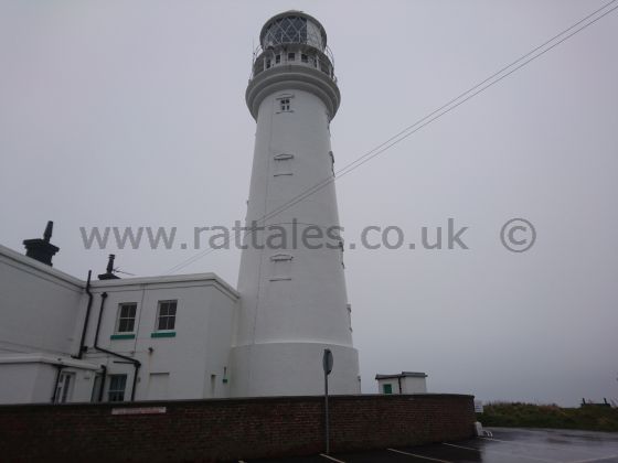
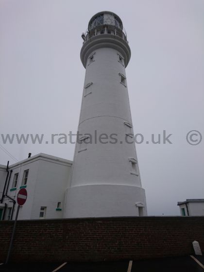
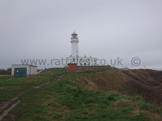
As we leave North Landing we follow the path and come to Flamborough
Head and lighthouse. The lighthouse was first turned on on 1
December 1806 and the current electric fog signal was installed in
1975 and still runs to this day. You can see and hear the lighthouse
keeping mariners safe for miles and miles around.
If at this point you need a break, there is a lovely cafe and gift
shop and the cake here is just awesome, definitely worth a visit if
you have a sweet tooth and a good excuse for a break before taking
on the 6 miles back to Bridlington (or 5 miles if you finish at
Sewerby as I did today).
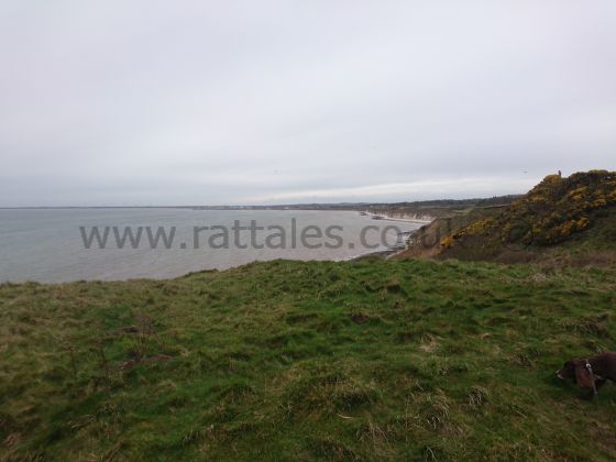
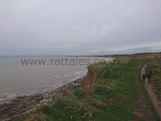
As you continue along the headland the views of the coastal route
start to open up and you begin to get the first glimpses of
Bridlington, Hornsea and on a good day, Spurn Point.
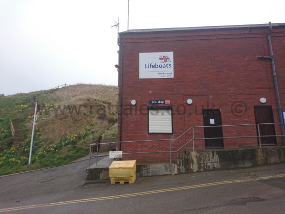
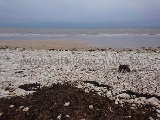
A couple of miles after Flamborough Head you arrive at South
Landing, if you are lucky the lifeboat station here might be open
and you can hopefully have a nosy around the station and the boat.
This is a large beach that dogs are welcome on all year round, so it
is a great place to let them off the lead for a run around and to
clear the cobwebs. If you fancy a cuppa at this point there is a
cafe up the path back inland.
I prefer to keep going and onwards and upwards we head. Only around
a mile and a half further and you will find yourself at Danes Dyke.
This is another stunning beach under the backdrop of the imposing
chalk cliffs, but be warned, there is a large car park slightly
inland and this attracts a lot of people, so if you come at a
weekend or during school holiday time, you could be sharing this
beach with a whole lot of other people. There is a cafe at the car
park, should you need to refresh yourself.
Continuing on along the path southwards you are soon met with
Bridlington Links Golf and Leisure Club, which must have some of the
best views of any golf course in the UK overlooking the stunning
North Sea and offering views both Northwards and South towards
Bridlington.
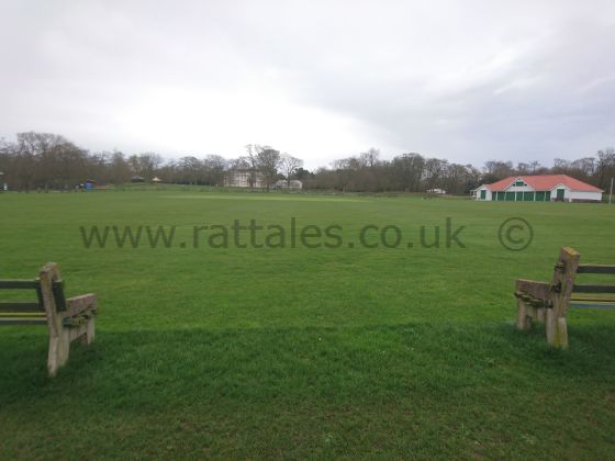
Beyond the golf club you are met by Sewerby Cricket Club and Sewerby
Hall and Gardens, a Grade I listed Georgian country house set in 50
acres of landscaped gardens, a stunningly beautiful house and
gardens and worth a visit on another day.
As we continue you begin to enter civilisation and the path opens up
and becomes more solid and even has a tarmac path in case you are
fed up of sliding around with every step as I was today.
Further along the route at the Bondville Model Village is where my
walk ends, however one more mile and you are back in Bridlington and
back to your starting point if you took the bus.
Walk this route yourself,
download the .gpx file.
Find the nearest campsites

|